| Ibilbidea 4.470 m-koa izango da.
|


Olaberriko erdigunean gara, hirigunean.
Inguru honetan kokatzen dira herriko eraikuntzarik esanguratsuenak: Udaletxea, San Juan Bautista eliza, eskolak edo ostatua besteak beste. Azken finean erdiguneak eta Ihurre auzoak osatzen dituzte Olaberriko bizi-nukleo nagusiak.
Hemendik, parrokiko talaiatik bertatik Aizkorri mendia begiztatu daiteke hego-mendebaldean, Txindoki mendia ipar-ekialdean eta baita Idiazabal, Segura, Beasain eta Lazkao udalerriak ere.
Udaletxeko plazan abiatzen den zirkuitu honetan, Parderreka ubidea hornitzen duten erretenetako batetik jaitsiko gara. Bidexka honetan 1.700 metro egingo ditugu, Aizpea baserriaren albotik pasa eta autoeskolako zona baxura heltzeko.
Puntu honetatik hegoalderantz joko dugu autoeskola zaharrak eta kartinga inguratuz, ondoren Bengoetxea, Iriarte, Balda, Matsalde eta Azarola baserrien albotik pasatzeko. Ibilaldian ikus daitekeen bezala, Olaberriko nekazaritza zona garrantzitsuena da hau.
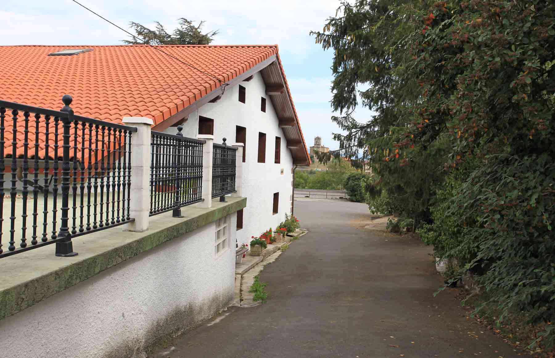
Azkenik, baserri hauetatik hirigunerantz abiatuko gara, Donejakue bidearen zati bat erabiliaz.
Ibilbide honek 4.470 metroko luzera eta 137 metroko desnibela ditu.


Nos encontramos en el centro de Olaberria, en el casco urbano.
En este entorno se ubican los edificios más representativos del municipio. El ayuntamiento, la Iglesia de San Juan Bautista, las escuelas, el ostatu, ... En fin, el núcleo vital del municipio, con el permiso de los habitantes del barrio de Ihurre, el otro núcleo urbano de Olaberria.
Y también desde aquí, desde la atalaya de la parroquia, podemos divisar el macizo del Aizkorri al suroeste, el Txindoki al noreste y los municipios de Idiazabal, Segura, Beasain y Lazkao.
En este recorrido que se inicia en la plaza del ayuntamiento, vamos a descender por uno de los cauces que alimentan a la regata de Pardaerreka, pasando junto al caserío Aizpea, durante un trayecto de 1.700 metros, hasta llegar a la zona baja de la autoescuela.
A partir de este punto nos dirigiremos hacia el sur, pasando junto a las antiguas escuelas y bordearemos el Karting, para pasar a continuación junto a los caseríos Bengoetxea, Iriarte, Balda, Matsalde y Azarola. Como se podrá observar en el paseo, se trata de la zona dedicada en mayor medida a la producción agrícola en Olaberria.
Desde estos caseríos nos dirigiremos finalmente al casco aprovechando parte del trazado del Camino de Santiago.
El recorrido tiene una longitud total de 4.470 metros y un desnivel máximo de 137 metros.


We are in Olaberria town centre.
The town’s most significant buildings are located here - the town hall, San Juan Bautista church, the schools and the hotel. This is the busiest part of the town, not forgetting the neighbourhood of Ihurre which is another important area of Olaberria.
From the church tower located here, we can see the Aizkorri mountain range to the southwest, Txindoki to the northeast and the towns of Idiazabal, Segura, Beasain and Lazkao.
On this route, which begins in the town hall square, we are going to go along one of the small rivers which flows into the river Pardaerreka passing Aizpea farmhouse, walking for 1,700 metres until we get to the driving school located in the lower part of the town.
From here we go south passing the old schools and the Kart Racing circuit and then we pass the Bengoetxea, Iriarte, Balda, Matsalde and Azarola farmhouses. This route goes through an area dedicated to agricultural production in Olaberria.
From these farmhouses we then go towards the town centre using part of the Santiago Way.
This route covers 4,470 metres and has maximum ascents and descents of no more than 137 metres.


